
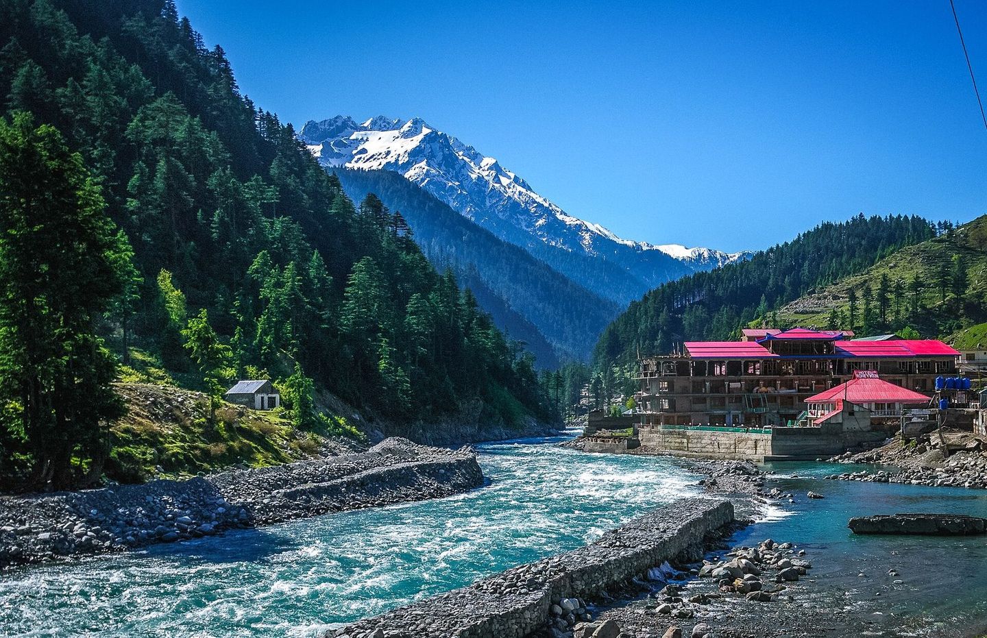
Kalam
Khyber Pakhtunkhwa
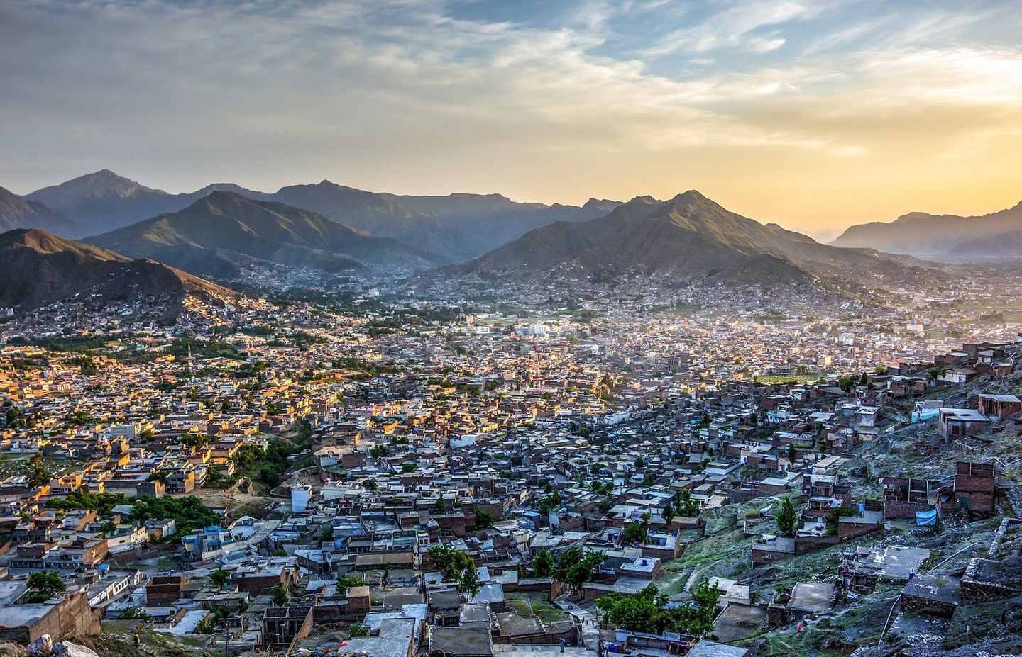
Photo: Designer429, CC BY-SA 3.0
Kalam is a valley at about 2,000 metres in Upper Swat, 99 km north of Mingora, where the Ushu and Gabral rivers join to form the Swat River. It is the base for trips to the alpine lakes of the area, including Mahodand and Kandol, and to Matiltan, with views of Falak Sar.
From Wikipedia: Kalam Valley
Places around Kalam
Listed on Mulk, within about 12 km of the centre
Things to see
Sights, landmarks, lakes and viewpoints.
Where to stay
Hotels, guest houses, resorts and campsites.
Where to eat
Restaurants, cafés and dhabas.
Shops
Handicrafts, dry fruit, bakeries, groceries and outdoor gear.
Essentials
Fuel and repairs, cash, health, police, tours and transport.
Know a place in Kalam we’re missing?
Add the guest house, dhaba or viewpoint nobody has listed yet. It takes two minutes and helps the next traveller.
Nearby destinations
Distances in a straight line, not by road.
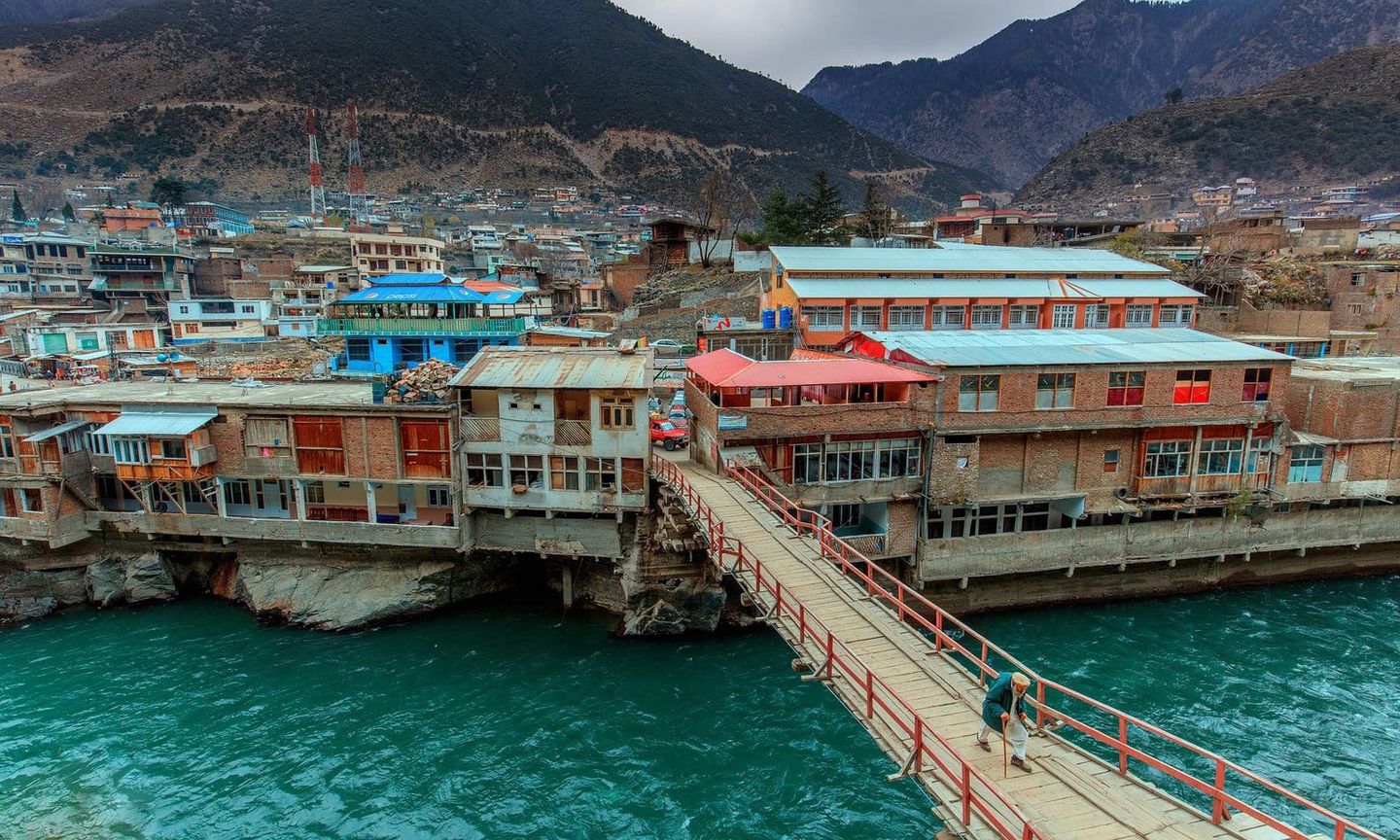
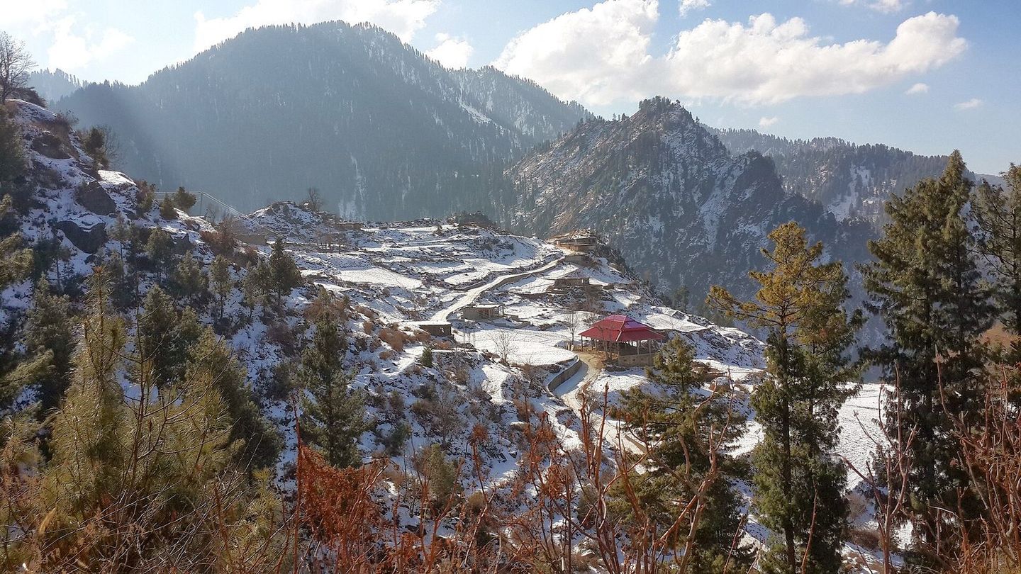
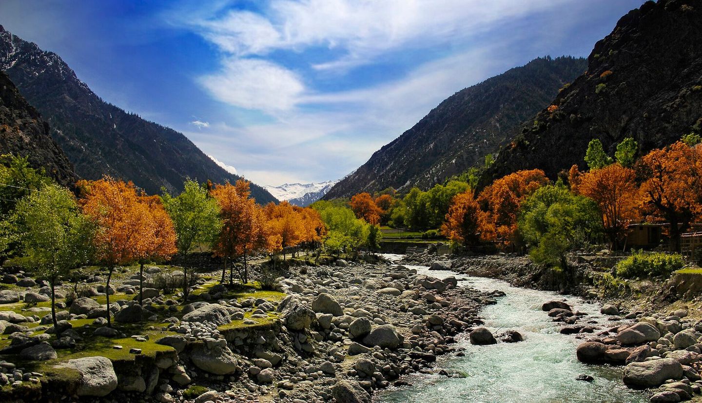
Map data and some place details © OpenStreetMap contributors.
Photos from Wikimedia Commons:
- Kalam: Designer429, CC BY-SA 3.0