
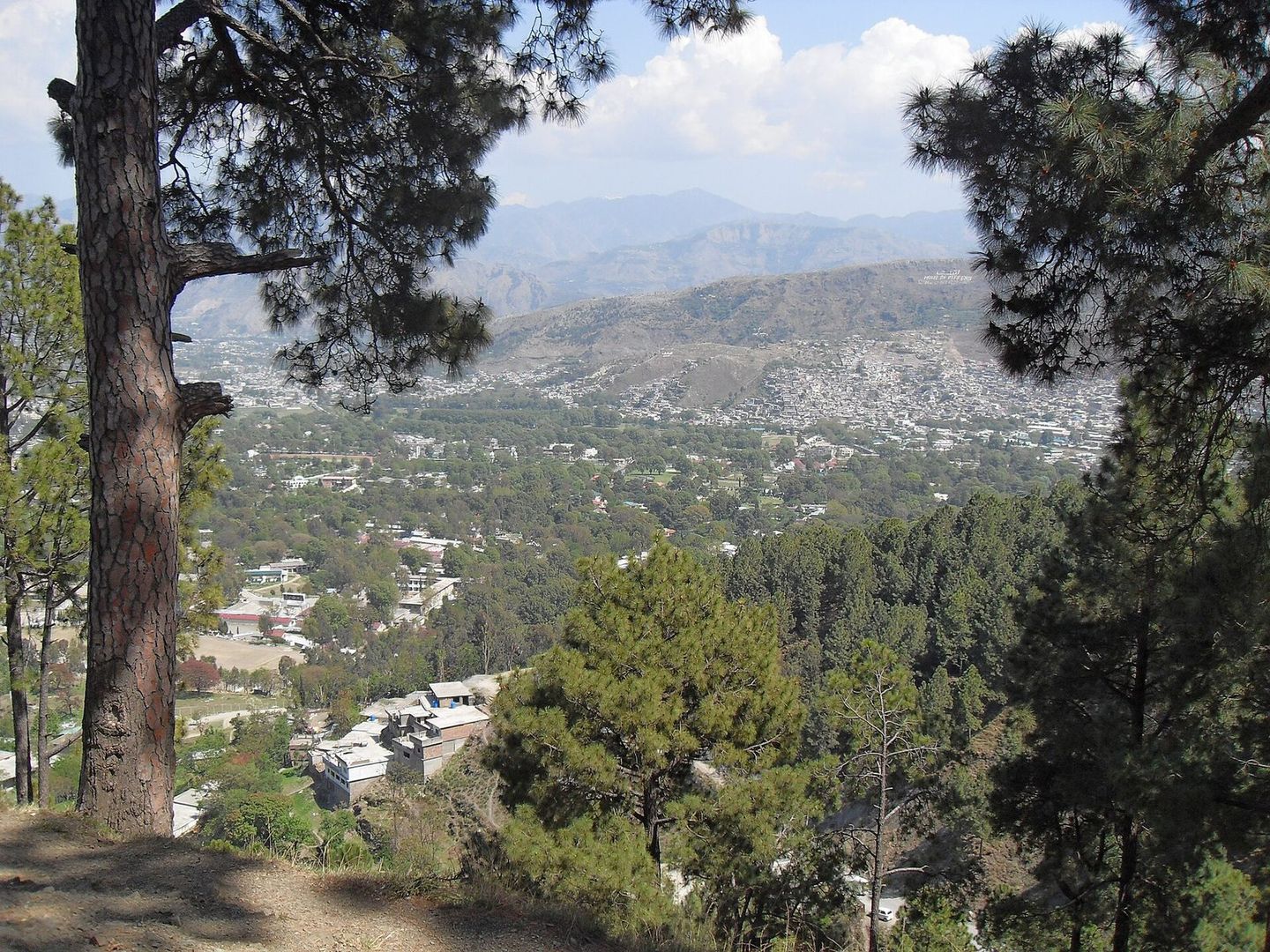
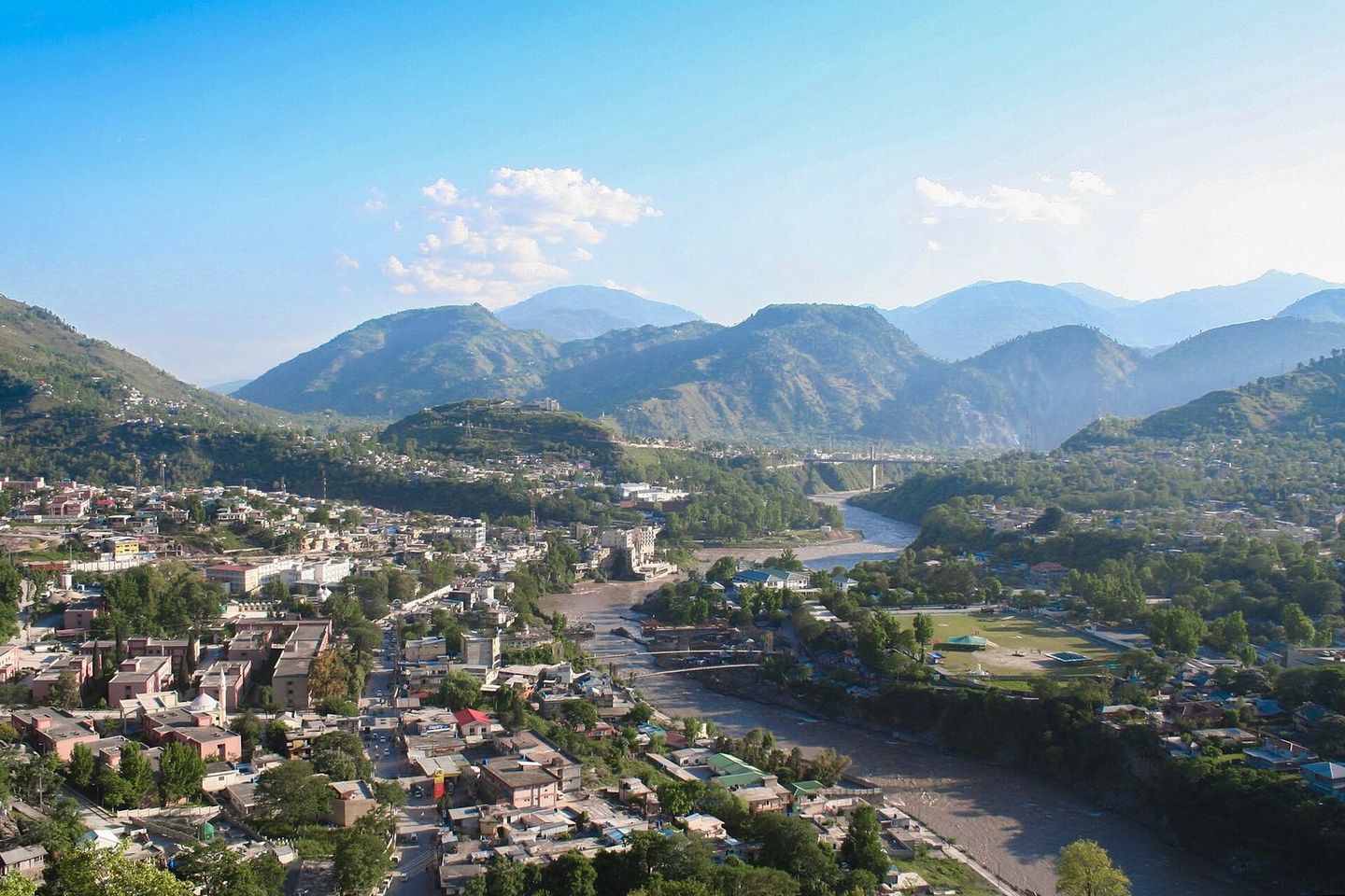
Abbottabad
Khyber Pakhtunkhwa
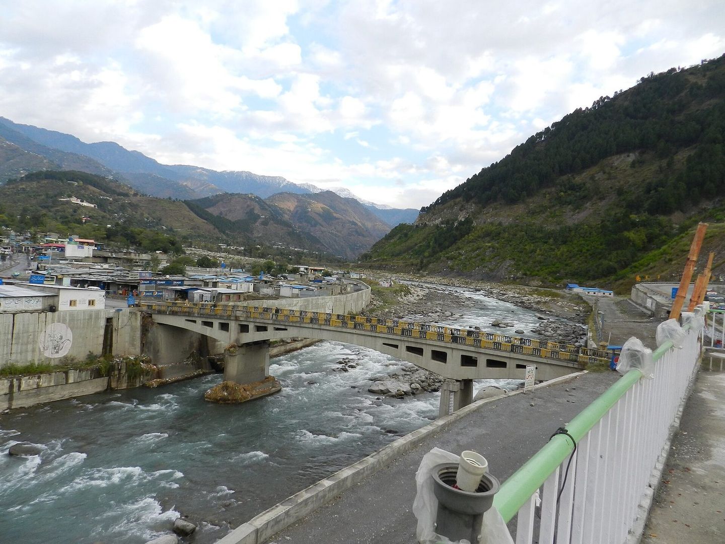
Photo: Fraz.khalid1, CC0
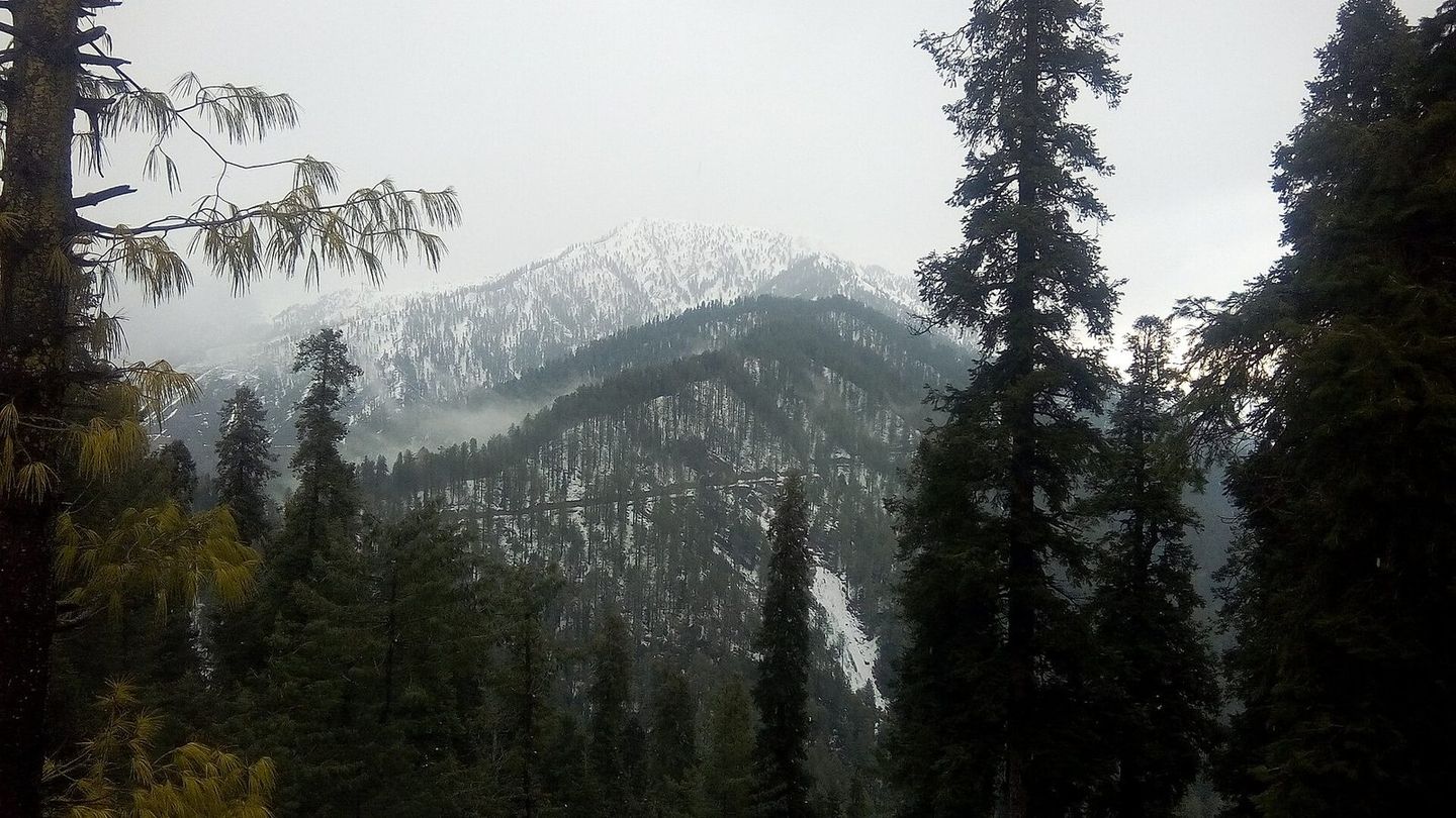
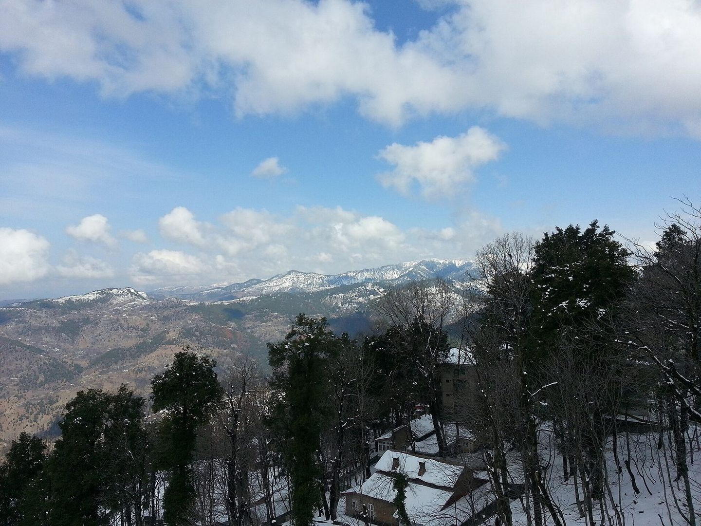
Abbottabad is the capital of Hazara Division, a city at about 1,256 metres on the Karakoram Highway some 120 km north of Islamabad and Rawalpindi. Its milder weather draws visitors escaping the summer heat of the plains, and Nathia Gali in the Galyat hills is about 32 km away.
From Wikipedia: Abbottabad; Nathia Gali · From Wikivoyage: Abbottabad
Places around Abbottabad
Listed on Mulk, within about 10 km of the centre
Things to see
Sights, landmarks, lakes and viewpoints.
Where to stay
Hotels, guest houses, resorts and campsites.
Where to eat
Restaurants, cafés and dhabas.
Shops
Handicrafts, dry fruit, bakeries, groceries and outdoor gear.
Essentials
Fuel and repairs, cash, health, police, tours and transport.
Know a place in Abbottabad we’re missing?
Add the guest house, dhaba or viewpoint nobody has listed yet. It takes two minutes and helps the next traveller.
Nearby destinations
Distances in a straight line, not by road.
Map data and some place details © OpenStreetMap contributors.
Photos from Wikimedia Commons:
- Abbottabad: Fraz.khalid1, CC0