
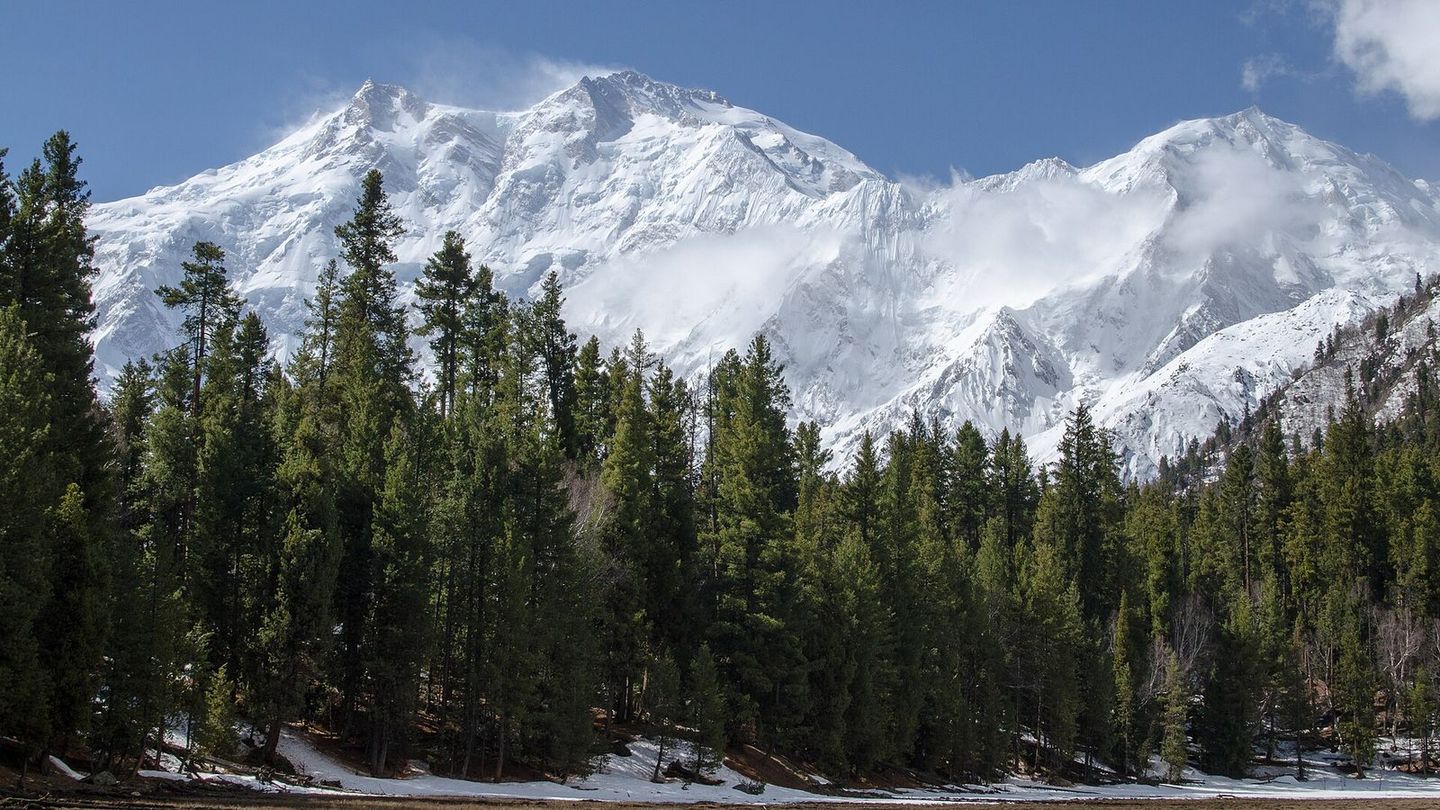
Fairy Meadows
Gilgit-Baltistan
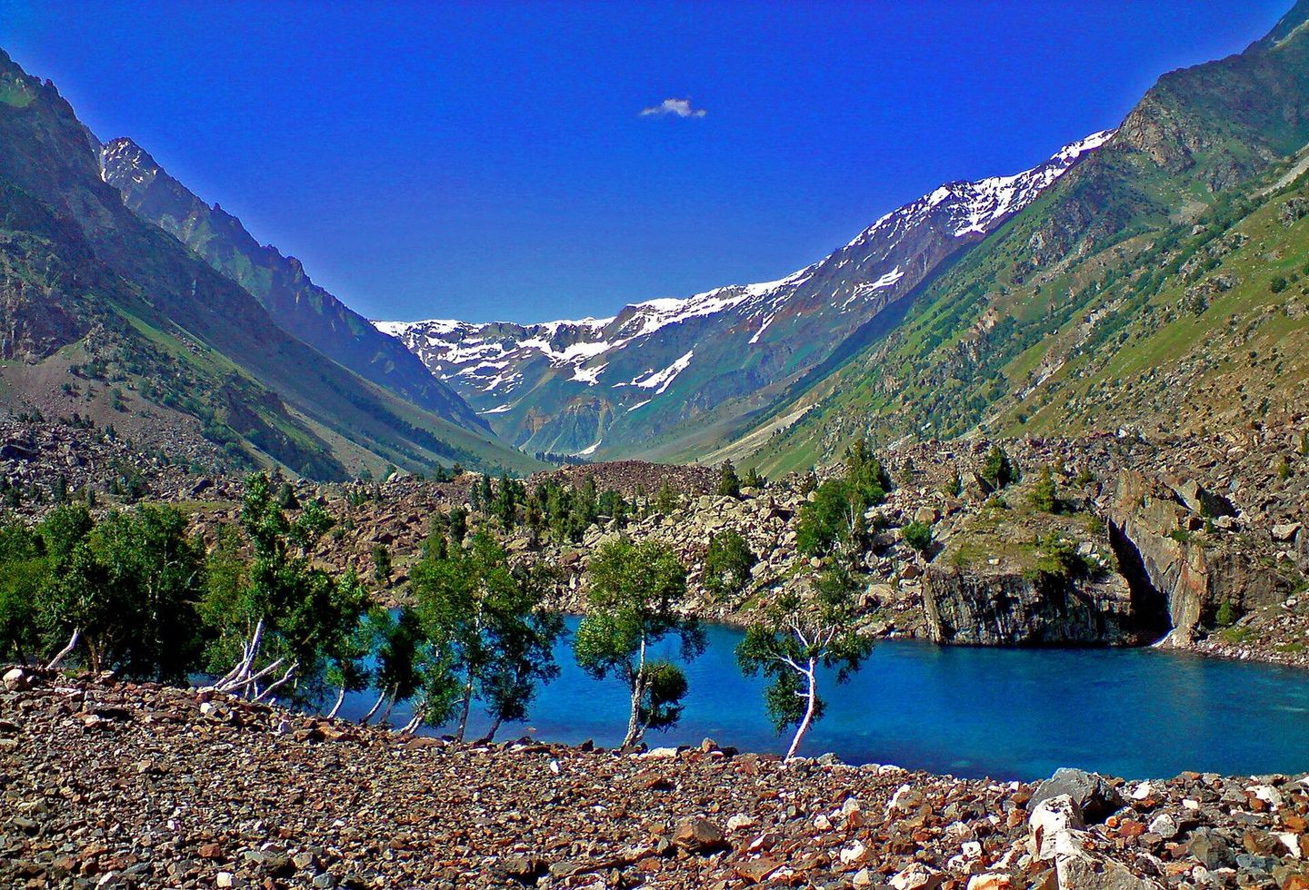
Photo: Aasim85, CC BY-SA 3.0
Fairy Meadows is an alpine grassland at about 3,300 metres facing Nanga Parbat, close to the base camp for climbs up its Rakhiot face, and part of Nanga Parbat National Park. Getting there means a jeep ride up a narrow track from Raikot Bridge on the Karakoram Highway to Tattu village, then a hike of three to four hours; the season runs from April to September.
From Wikipedia: Fairy Meadows
Places around Fairy Meadows
Listed on Mulk, within about 12 km of the centre
Things to see
Sights, landmarks, lakes and viewpoints.
Where to stay
Hotels, guest houses, resorts and campsites.
Where to eat
Restaurants, cafés and dhabas.
Shops
Handicrafts, dry fruit, bakeries, groceries and outdoor gear.
Essentials
Fuel and repairs, cash, health, police, tours and transport.
Know a place in Fairy Meadows we’re missing?
Add the guest house, dhaba or viewpoint nobody has listed yet. It takes two minutes and helps the next traveller.
Nearby destinations
Distances in a straight line, not by road.
Map data and some place details © OpenStreetMap contributors.
Photos from Wikimedia Commons:
- Fairy Meadows: Aasim85, CC BY-SA 3.0